Driving the Teddy Through the Treasure State
Now that summer is here, Americans are hitting the road. Doing so has become an American tradition. And it makes perfect sense. Few other countries offer as much beauty and expanse as America, and even fewer have a comparable network of roads to make such trips possible.
The first vehicles to carry us on our long trips west were covered wagons. Those were replaced by steam locomotives. Then in the early 1900s, the automobile arrived on the scene. By then, Americans were hooked. Long road trips into the heartland became a uniquely American thing, so popular it became woven into our culture.
In the 1920s, the number of automobiles on American roads grew by more than fifteen times, from 500,000 to over eight million. Traveling by car, however, was far from easy—especially over great distances. Two-lane asphalt roads outside of the wealthiest cities did not exist, let alone concrete byways. Even gravel roads were considered a luxury in much of America at the time. There were fewer than two million miles of road in America in 1920, and less than 10 percent were paved. The rest? They were little more than dirt tracks, which often became impassable whenever it rained.
In 1913, there were only 150 times when an automobile crossed the country. Total. Ten years later, 20,000 Americans did it in just one year. Some of them, at least part of the way, did so by driving on a Montana road that many called "The Teddy." Or “Roosevelt Highway” by others. The “road,” if you want to call it that, mostly followed what we know as U.S. Highway 2 today. It ran along the northern lip of Montana following the Great Northern Railway tracks across Montana’s Hi-Line.
Formally called the Theodore Roosevelt International Highway, “The Teddy” was more of a two-track trail through long fields of gumbo than it was a true highway. This was not anything close to resembling I-15, or Highway 2, or Highway 200…or even the least-known gravel road in Montana today. No, the road was a mess. You might appreciate the Teddy’s road conditions if you have ever driven through spring gumbo or had your vehicle's undercarriage stuck on an obstacle in the road. To call this a highway is like calling Montana winters “mild.”
The Roosevelt Highway, though, became a cultural artery connecting small towns, farms, and ranches across a vast American landscape that was pulsing with cowboys and Indians, prospectors and homesteaders, and it echoed with whispers of history and the promise of adventure for those travelers who dared to make the trip. From the rolling hills in the eastern United States to the soaring mountains of the west (and everything in between), the Roosevelt Highway wasn't just a path to somewhere; it was a chance to experience the heart of America.
The spark that became the fire that started the Roosevelt Highway was first struck in Duluth, Minnesota, not long after Theodore Roosevelt died in 1909. The Chamber of Commerce there sponsored the idea of creating a highway that would become a memorial to Roosevelt, the author, naturalist, explorer, soldier and 26th President of the United States. When completed, they hoped the highway would stretch from Portland, Maine to Portland, Oregon—a 4,060-mile collection of roads from Acadia National Park (née Sieur de Monts National Monument and Lafayette National Park) in Maine to what would become Olympic National Park in Washington. One long pattern of roads through the United States and Canada, where one could drive at a time when automobiles were still brand new and paved rural roads still did not exist.
In the early 1910s, auto trail organizations began to pop up, which designated and promoted routes for the new recreational pursuit of long-distance automobile travel. The most prominent route was the Lincoln Highway, America’s first hard-surfaced transcontinental road, stretching from New York City to San Francisco. While many auto clubs worked with local officials and states to improve roadways, most roads were nothing more than collection of signs guiding drivers along old Indian paths and cattle crossings. Gravel and asphalt was not something you would see on many of these roads.
The Theodore Roosevelt International Highway was so named on January 6, 1919 by the United States Congress long before the road was even close to being assembled. Many smaller states in the East already had their portions of the muddy trail completed, but the further you moved west, roads were virtually nonexistent. Michigan, for example, did not complete its portion of the highway until 1926. And Montana’s 660 miles of the highway, more than any other state, would not be completed until much later.
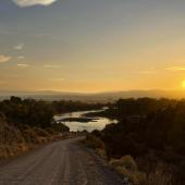
When the final route for the Roosevelt Highway through Montana was determined, even the best parts of the road were difficult to traverse. Especially in those early automobiles. According to a historical marker outside of Malta, "the Roosevelt Highway Association warned motorists in 1921 that the route between Glasgow and Malta was a partly improved dirt road that was almost impassable because of gumbo in wet weather."
Despite the unimproved nature of the Roosevelt Highway, adventurous tourists driving Buicks, Studebakers, Maxwells, and Overlands (but mostly Model A Fords), still made the difficult trek along Montana's remote Hi-Line to visit Glacier National Park and other attractions along the way. Their vehicles were serviced in small-town garages and the travelers camped along the way, boosting local economies. One promoter wrote, "The Roosevelt Highway opens to the tourist the door of the treasure-box of beauties and grandeur and varied scenery of the North continent as no other highway does."
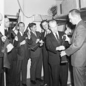
Remnants of the old Roosevelt Highway still exist today, including the Roosevelt Memorial Obelisk. Soaring 60 feet into the sky along Highway 2 on the southern side of Glacier National Park, the monument has a tapering cement core covered on all sides with seven-inch slabs of Montana granite quarried near Helena. The monument was built to honor Roosevelt and to memorialize the completion of his namesake highway. Congress appropriated $25,000 for the monument, and construction was completed in 1931.
The monument was built at Marias Pass. With an elevation of 5,213 feet, it became the northernmost mountain pass open to automobile traffic in the United States year-round, without which the Roosevelt Highway could not have been completed.
Today, U.S. Route 2 uses the pass, along with the BNSF Railway, a successor to the Great Northern Railway. The railroad route, which sees much freight traffic, is also used by Amtrak's Empire Builder. It is part of BNSF's Northern Transcon line linking Chicago and the Pacific Northwest. A statue of John F. Stevens, the engineer who discovered Marias Pass while working for the Great Northern Railway, stands at the summit.
When the ribbon was cut on the Roosevelt Memorial Obelisk and the Theodore Roosevelt International Highway was opened, the highway traversed two countries, 12 states, three provinces, five great lakes, two oceans, 86 counties, 64 county seats and a population of more than 4.2 million people.

The impact of the Theodore Roosevelt International Highway was immediately felt. Not only did it connect communities and cultures across vast stretches of land, it heralded a new era of regional and national transportation, facilitating the movement of goods and people with unprecedented ease. Stretching from the rocky Atlantic coast in Maine to the sun-kissed shores of the Pacific Ocean over 4,000 miles away in Washington, the route was a visual feast of beautiful landscapes, from the rolling hills of the Appalachians to the majestic peaks of the Rockies. Along the way, travelers encountered attractions and landmarks that were the heart of America’s identity, including the Great Lakes, the Soo Locks, Glacier National Park, the Columbia River, and Puget Sound. Those early travelers who explored the route in their four-cylinder jalopies embarked on a voyage of discovery, where the past and present converged across the landscape of America.
Like many innovations, roads like the Roosevelt Highway “paved the way” for their own demise. Recognizing the appeal of such highways, the federal government began financing, organizing, and overseeing the nation’s network of roads. Then in 1926, the U.S. government established the numbered route system, taking over many legs of the Roosevelt Highway in the process. But the real death knell happened a few years later on October 29, 1929, when the stock market crashed and all the gains of the previous year vanished. When the markets closed, nearly $10 billion was gone. Over the next two weeks, the hemorrhaging continued. Before long, a good chunk of the American workforce was unemployed. A great national migration began. Displaced families took to the American highway in the last possession they had—their automobile—and headed west.
Not long after the Great Depression began, the Army, wanting to show off its new heavy equipment, made a cross-country trek through the heartland of America. One of the officers on that long, difficult journey across unimproved roads was Lt. Colonel Dwight D. Eisenhower. It seems likely his memories of that voyage on broken American roads were on his mind when he first gazed upon the German autobahns at the end of World War II. In 1956, when he became President, he championed the creation of America's Interstate Highway System, which created large concrete multilane roads that would snake across the country, making routes like the Roosevelt Highway obsolete.

Journalist and television host Charles Kuralt once said, "The interstate highway system is a wonderful thing. It makes it possible to go from coast to coast without seeing anything or meeting anybody." And while those sarcastic words might resonate with those of us who regularly travel on monotonous strips of interstate highway, there are highways in Montana where the small towns, wide-open spaces and rugged natural beauty offer a respite.
In 1960, John Steinbeck made a 10,000-mile journey across America in a homemade camper he nicknamed Rocinante, after Don Quixote's worn-out horse. Sitting in the seat beside him was a poodle he named Charley. Steinbeck wrote about his journey in the book “Travels With Charley: In Search of America.” In it he famously wrote, “I am in love with Montana. For other states I have admiration, respect, recognition, even some affection, but with Montana it is love, and it's difficult to analyze love when you're in it.”
As beautiful as that was, he also wrote the following in a way only he could:
“I sought out (I-90), a wide gash of a super-highway, multiple-lane carrier of the nation's goods. Rocinante bucketed along. The minimum speed on this road was greater than any I had previously driven. I drove into a wind quartering in from my starboard bow and felt the buffeting, sometimes staggering blows of the gale I helped to make. Instructions screamed at me from the road: ‘Do not stop! No stopping. Maintain speed’ Trucks as long as freighters went roaring by, delivering a wind like the blow of a fist. These great roads are wonderful for moving goods but not for inspection of a countryside. You are bound to the wheel and your eyes to the car ahead and to the rear-view mirror for the car behind and the side mirror for the car or truck about to pass, and at the same time you must read all the signs for fear you may miss some instructions or orders. No roadside stands selling squash juice, no antique stores, no farm products or factory outlets. When we get these thruways across the whole country, as we will and must, it will be possible to drive from New York to California without seeing a single thing.”
Anyone who has casually driven along a quiet rural road anywhere in Montana knows exactly what Steinbeck was writing about. And there are many travelers out there who have learned that there is much more to see when you leave the interstate and explore for yourself. Perhaps it is time to consider bringing back the Teddy. Sure, Montana has no shortage of tourists anymore, but the old Roosevelt Highway cuts through a part of the state that might benefit most from a few more cars and campers driving down its roads.
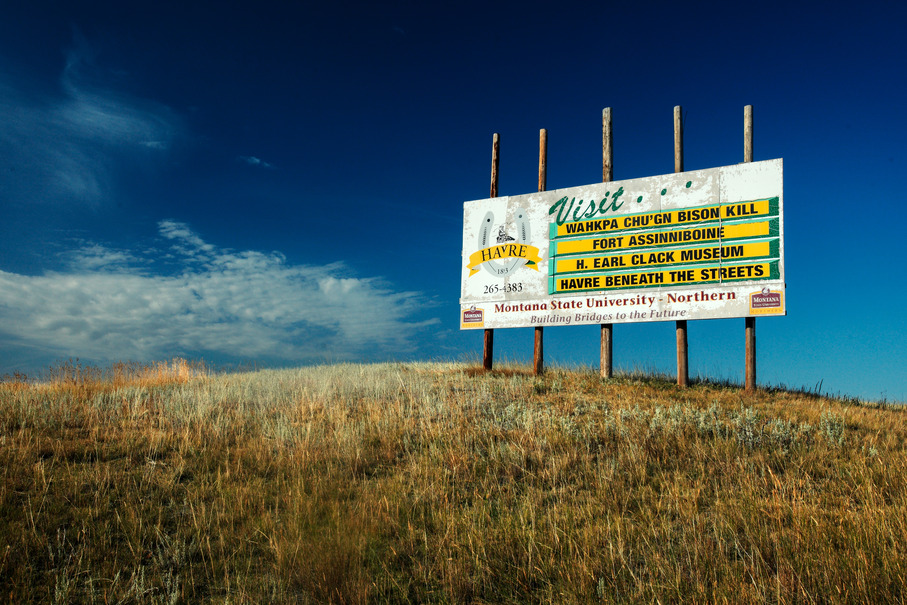
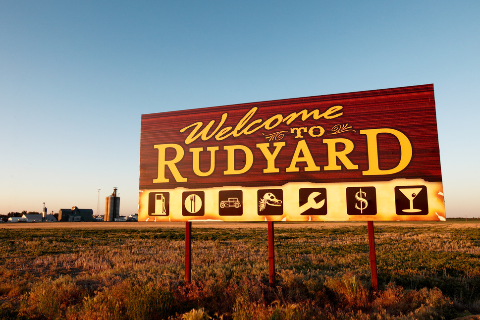
Roads no longer need to be built and routes no longer need to be made. All that is needed is a commitment from communities, states and Americans to remember the Teddy and put up some signs along the highway. By coaxing neighboring states to do the same, it might not take long to recreate the Theodore Roosevelt International Highway and create more economy in a place that could use some. Especially in eastern Montana, where state parks are decidedly few and far between, the recognition and promotion of U.S. Highway 2 as a historic route might be beneficial to those communities along the route.
The use of the name "Theodore Roosevelt International Highway" subsided after the U.S. Highway System was approved in late 1926. People still called it the Roosevelt Highway for many years, however, and its impact on Montana was profound. Large stretches of what we now know as U.S. Highway 2 today might never have been built if it had not been for the Roosevelt Highway. And the Marias Pass for automobiles might not have ever been completed if the Roosevelt Highway had not tempted state and local officials with promises of great commerce and opportunity. Not only did the highway contribute to the growth of businesses along its route, it also fostered economic opportunities for towns and cities that were previously isolated. And, perhaps more importantly, the route became a symbol of America's commitment to connecting its diverse landscapes and fostering cooperation between states. Perhaps it’s time to do something like this again.


Leave a Comment Here