Get To Know Fergus County
Located at the geographical center of the state of Montana, Fergus County was formed on March 12, 1885, with land taken from Meagher and Chouteau Counties. James Fergus, a territorial delegate from Meagher County, proposed the new county, and it was named for him. Many history and genealogy websites tell the story of James Fergus, who the Montana GenWeb site calls "The Grand Old Man of Montana.” Lewistown, named for nearby Fort Lewis, became the county seat. As county formation continued, parts of Fergus County were taken for Judith Basin, Wheatland, Golden Valley and Petroleum Counties. Petroleum, split from the eastern part of Fergus in 1925, was the last Montana county created.
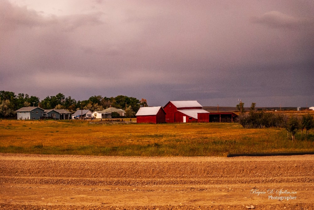
The county seat and Fergus County's only city, Lewistown, got its start in 1874 when the U.S. Army chose the site for Fort Lewis. The fort was named for W.H. Lewis, an army major, and the town, in turn, was named for the fort. This was news to me as I had assumed that honor went to Meriwether Lewis who had such a major impact on the rest of the state. Within a few years of building of the fort, a group of Métis families settled in the area. Métis refers to a people of mixed blood, in this case French Canadian and Native American. Soon there were 150 Métis families in the area and their importance can be seen in the French street names and the annual Métis Celebration held every Labor Day Weekend.
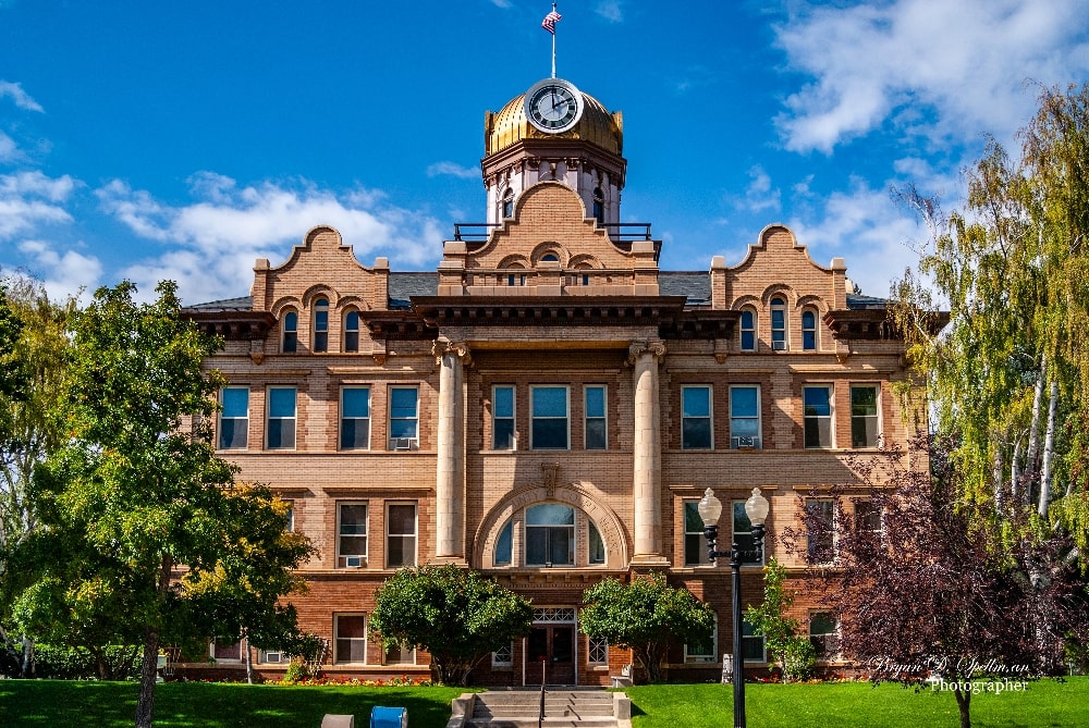
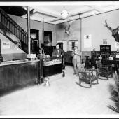
The city grew and was incorporated in 1899. The railroad arrived in 1903, bringing homesteaders to the area. The abundance of stone in the area attracted Croatian stonemasons who built many of the stone buildings that grace the city. Fergus County has forty-five listings on the National Register of Historic Places. Thirty-five are in Lewistown. These include historic homes, churches, the courthouse and Carnegie Library, and five historic districts. The Lewistown Area Chamber of Commerce has brochures available for self-guided walking tours through these districts.
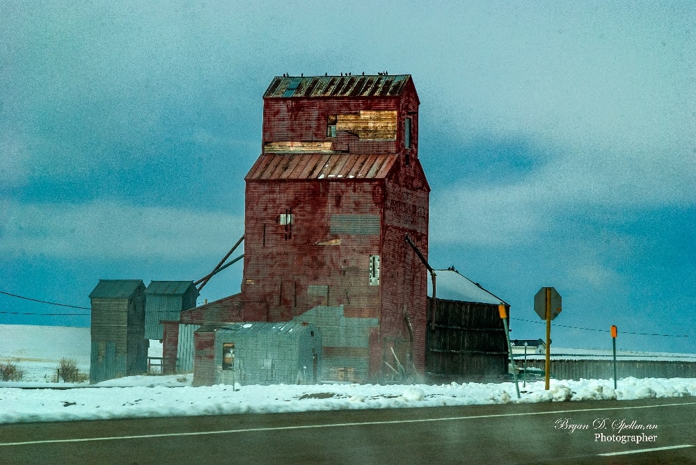
Lewistown is the only incorporated city in Fergus County, but there are four incorporated towns. Denton, in western Fergus County, is the largest with a 2020 population of 205. The town's post office got its start in 1888, and over time the town grew to include a bank, several churches, four large grain elevators, and such municipal entities as a community center, a fire department, and a library. On December 1st, 2021, a wind-driven fire blew through the town, destroying the four elevators, the Central Montana Railroad's trestle, and some twenty-five structures, mostly homes on the south side of town. In the two and a half years since, much has been rebuilt. I spoke with Kellie Davis, the Denton town clerk, who told me that Dentonians may have been knocked down by the fire, but they are resilient. They're not going anywhere.
Northeast of Denton lies Winifred (2020 population 172). Founded in 1913 as the terminus of a Chicago, Milwaukee, St. Paul, and Pacific branch line, the town grew as the railroad brought in settlers. Jim Arthur's book The History of Winifred has a collection of photographs showing life in the town in 1914. These include the building of the Stafford Store, still standing and on the National Register of Historic Places.
Moore, roughly 16 miles west of Lewistown, sits near the junction of US 191, US 87, and Montana 200. With a 2020 population of 194, the town is another that owes its existence to the railroad, in this case the Montana Central which came through in 1903. In 1904, the Judith Mercantile Company opened, followed shortly by the Moore Mercantile and the Kipe Hotel. The first hardware store opened in 1905 as did the Citizen's Bank. Dorman Jackson wrote up The History of Moore, and it as well as Jim Arthur's book about Winifred are available online through the Montana History Portal (mtmemory.org).
Grass Range, east of Lewistown, is the oldest of these towns, and the only one that doesn't trace its history to the railroad. Founded in 1883, the town owes its existence to the grass that fed cattle in the area. The town began as a stage stop and quickly grew into a trading center for much of central Montana. The railroad (again the Milwaukee) arrived in 1913 but took up its tracks in 1973. The 2020 population was 110, exactly the same as in 2010. A booklet on the town's centennial is available through the Montana History Portal.
In addition to these communities, Fergus County has many unincorporated and census-designated places. Specifically, there are 17 unincorporated communities and 12 census-designated places, of which five are Hutterite colonies.
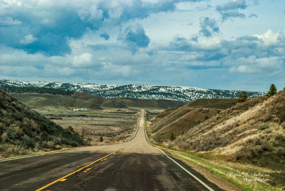
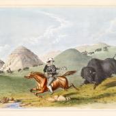
When A.B. Guthrie's character Lat Evans reaches the Continental Divide and looks eastward, he remarks that he now knows what "World Without End" really means. As does anyone who has crossed the Divide and looked out over the Rocky Mountain Front and the beginning of the Great Plains would most likely agree. But then you get to Fergus County where five named mountain ranges break up the horizon. The Big Snowy and Little Snowy Mountains lie south of Lewistown and run in an east-west orientation. The ranges take their name from the Gros Ventre who called them níichʔibííkʔa, or "never Summer." Greathouse Peak is the highest point in the Big Snowy range with an elevation of 8,621 feet. The Little Snowy range climbs just to 6,240 feet and extends 16 miles in length and six miles in width, forming part of the boundary between Fergus and Musselshell and Golden Valley Counties. North of Lewistown are the North Moccasin and South Moccasin ranges. The highest point in this pair rises to 5,384 feet. For your reference, Lewistown has an elevation of 3,947 feet. The Judith Mountains lie northeast of Lewistown and Judith Peak is the highest point at 6,428 feet. It was in the shadow of these mountains that the U.S. Army built Fort Maginnis, the last of five forts built in Montana following Custer's defeat at Little Big Horn. Maginnis, in operation for just ten years (1880-1890), protected the cattle ranches and gold mines in the area, most notably Granville Stuart's DHS Ranch, one of the largest Montana ranches in the 1880s.
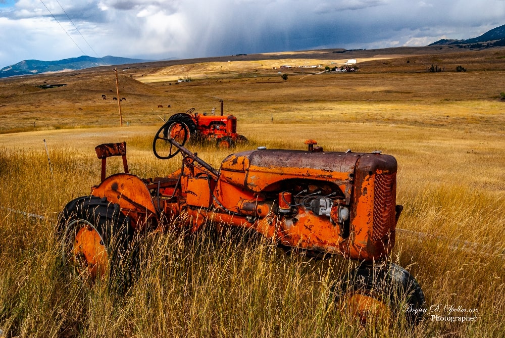
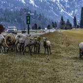
Today, agriculture is the leading industry in Fergus County. The 2017 Census of Agriculture (the most recent available) shows 845 farms in the county, covering 2,188,069 acres. Livestock is king here. Fergus County ranks first in the state in the market value of livestock, primarily cattle. Not surprisingly in cattle country, the primary crop is hay. What did surprise me is that the county ranks fourth state-wide with regard to aquaculture. This is probably due to the fish hatcheries around Lewistown. Big Springs Trout Hatchery, just south of town, is the largest coldwater production hatchery in Montana.
Should you be interested in visiting Fergus County, you have a wide range of activities to choose from. The county is well known for its hunting and fishing opportunities. Camping at James Kipp Recreation Area, I watched as a fisherman hauled a paddlefish out of the Missouri. And while we're talking fishing, the Big Springs Trout Hatchery is set in a park which is open to the public for hiking and picnicking and can be rented for special occasions. Thinking of getting married by a trout pond? In addition to the self-guided walking tours around Lewistown, the city also has an extensive trail system. Personally, I want to ride the train. The Charlie Russell Chew Choo takes passengers on a four-and-a-half-hour trip from just west of Lewistown to Denton and back while serving up not just scenery, but a full dinner. Be advised, the train sells out quickly.


Leave a Comment Here