Conquering the Montana Trail: 1,700 Miles Through Big Sky Country
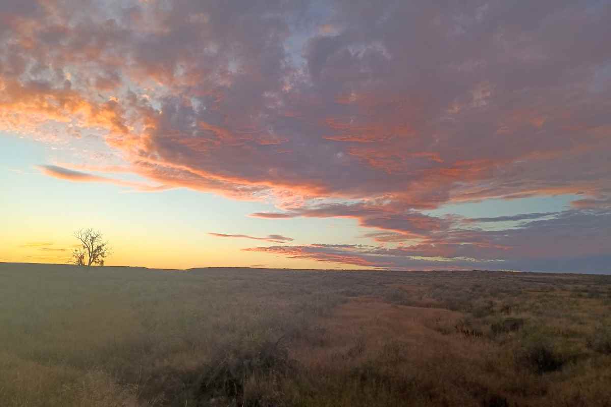
Some of the best ways to see Montana are lying on a rock while watching the cosmos transverse the night sky far beyond the reach of artificial lights, listening to the sound of an elk bugle carrying across the river breaks, and waking up to a frosty morning anticipating the sun's warming ascent over a distant peak. These are the siren calls of the Montana Trail, the state's 1,700-mile, ultra-long trail that beckons adventurers to experience its unblemished essence.
In 2024, Jim Kleven, better known by his trail name, Costanza, became the first person to thru-hike the Montana Trail since its inception five years ago.
"I was completely surprised by this trail," says Costanza. "I have seen some of Montana near the Continental Divide before, but I had no idea the beautiful areas I would end up in on this trail. I knew it would take me to places I never would have seen otherwise."
MONTANA'S OWN
The first step to creating the Montana Trail began when Marty Bannon—trail name is Race—wrapped up his own Continental Divide Trail (CDT) journey in 2015. Walking over 3,000 miles offers plenty of time to think, and as Race neared the Canadian border, a spark of an idea came to him that Montana deserved its own ultra-long trail.
"Two years later, while riding the Great Divide Mountain Bike Route south through Montana, the idea started to solidify. I envisioned a route that would encompass parts of the Continental Divide Trail, the Great Divide Mountain Bike Route, and the Pacific Northwest Trail [PNT], creating a multifaceted trail suitable for mountain biking and horseback riding."
Race also recognized these existing routes primarily showcased Montana's Rocky Mountains yet neglected the vast prairie, the Missouri River, and the many incredible island mountain ranges of central Montana. "I aimed to include all of these diverse landscapes in a truly comprehensive Montana Trail," he notes.
As an experienced thru-hiker and long-distance cyclist, Race knows a thing or two about route building, and he soon realized there was no reason to reinvent the wheel. He envisioned primarily utilizing established trails or roads on public land to create a new experience for hikers, bicyclists, and horseback riders, with a river section thrown in to make the Montana Trail like no other state trail.
"I believe a multi-use trail is consistent with making the best use of our recreational and public lands. Of course, a single route can't always meet all the requirements of hikers, bikers, and riders," he says. To accommodate varying needs and requirements—because bicycles are not permitted in wilderness areas, plus it's best to keep bikes and horses on separate tracks—there are two different routes in some areas.
EXPERIENCING THE MONTANA TRAIL
In 2022, Carly Swisher and Fay Reynolds canoed, biked, and hiked the trail by flip-flopping—starting at one point, then backtracking to finish another section—while learning that gumbo shows no mercy, especially with bike wheels, and the wind is not to be trifled with on the eastern plains. But no one had tackled the trail from its Idaho border terminus to Fort Union in one effort.
Costanza was up for the challenge. "Really, it's the same type of planning as a trail like the CDT or PNT, at least until the paddle or bike sections past Fort Benton going eastbound. Then, you must decide if you are paddling, biking, walking, or a mix of both. You can walk from James Kipp Landing to Fort Peck, so you will need to plan how you are going to get your kayak or canoe, or bike, to Fort Benton and possibly Fort Peck. That was definitely different planning from any other trail I walked," says Costanza.
He says he appreciated the Montana Trail's website, montanatrail.org, which breaks the trail into 25 sections and offers descriptions of each, including specific trails to take and what to expect, such as where you can pick up cell service again and how to find the nearest trail town. Downloadable GPX files created by Montana's OnX Maps are available for each section, or travelers can download them from the OnX app itself.
Timing the start of the trip depends upon snowpack in the higher elevations, and Costanza's late July 2024 departure worked out well. "I thankfully had zero snow on the PNT section. There was good trail and roads to walk for sure, and many of the trails were well maintained with minimal blow-downs."
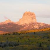
The first hitch travels through heavy forests and striking mountain passes through Yaak, Rexford, Eureka, and Glacier National Park, which is also where travelers share the same path as the CDT until it reaches Section 9, the Wise River area south of Butte. "Leaving the CDT and heading into Wise River I did deviate from the trail a couple of times, but that was my fault, really. Still not all of the trail is well-used, and navigation can be challenging at times."
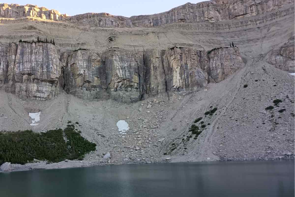
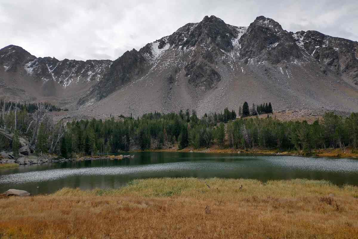
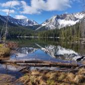
While Glacier and the Bob Marshall Wilderness are renowned for their beauty, Costanza says, "You get into some really, really amazing trail and views soon after Wise River. Kona Pass, Waukena Lake, and the surrounding area were a highlight of the trail for sure."
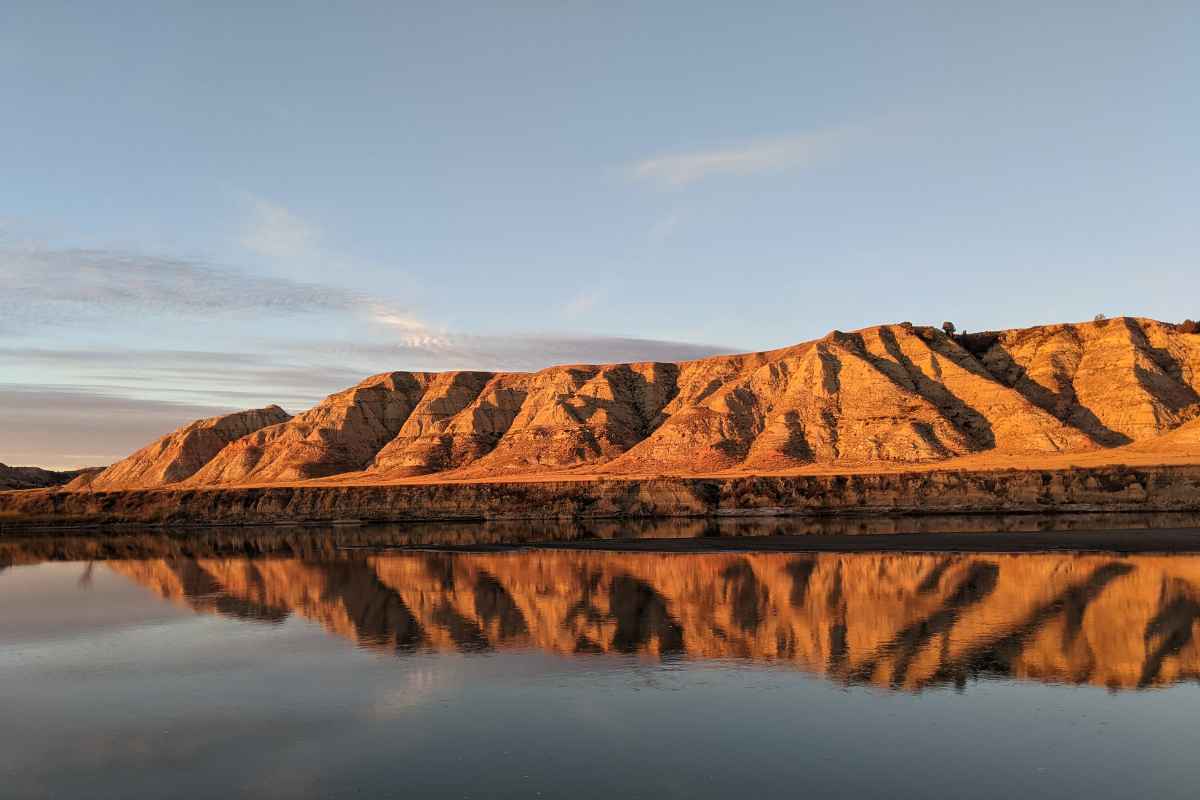
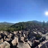
Stepping beyond the spectacular Rocky Mountains, travelers experience several of the state's island mountain ranges. Continuing east, the route leads to Livingston, Clyde Park, and the Crazy Mountains.
"Leaving the town of Livingston and getting into the Crazies involves quite a road walk. As you near the mountains, the scenery gets great from the road, though," he says. "The Crazy Mountains are beautiful and have great mountain pass views, as well."
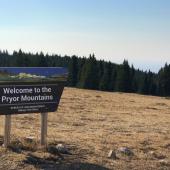
Turning north, he explored the Castles, Little Belts, and Highwood ranges on his journey. "If I remember correctly, the water situation in the Highwoods was a little tough. [There were] some steep and hard-to-follow trail at times and coming down from Big Baldy I deviated—got lost—from the normal route and had quite an adventure for a bit. It was some work for sure but worth it."
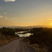
PADDLING THE RIVER
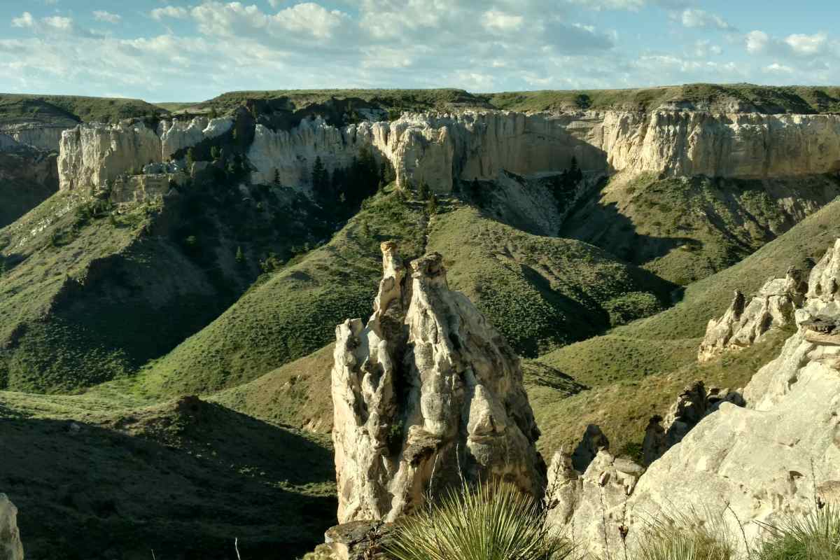
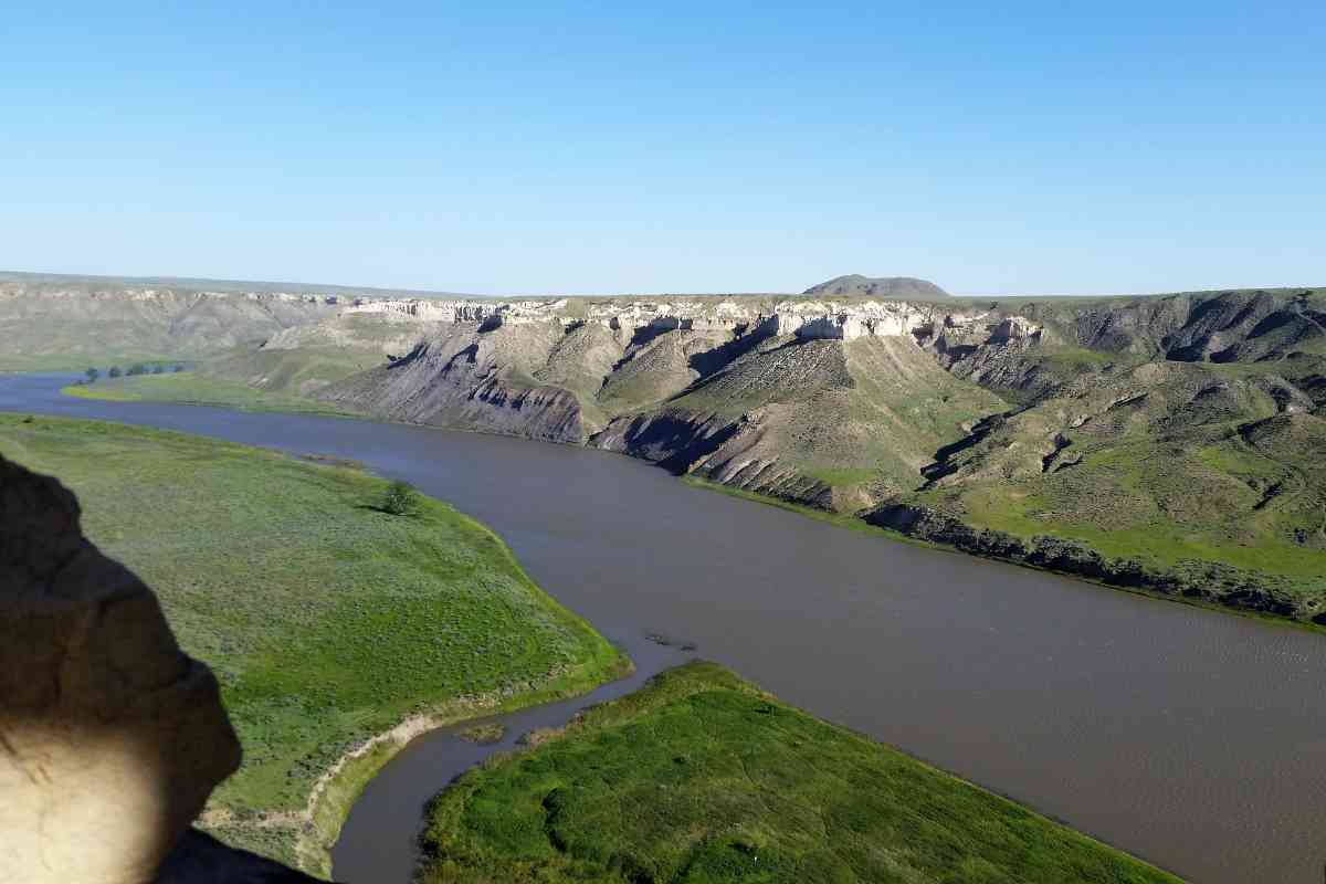
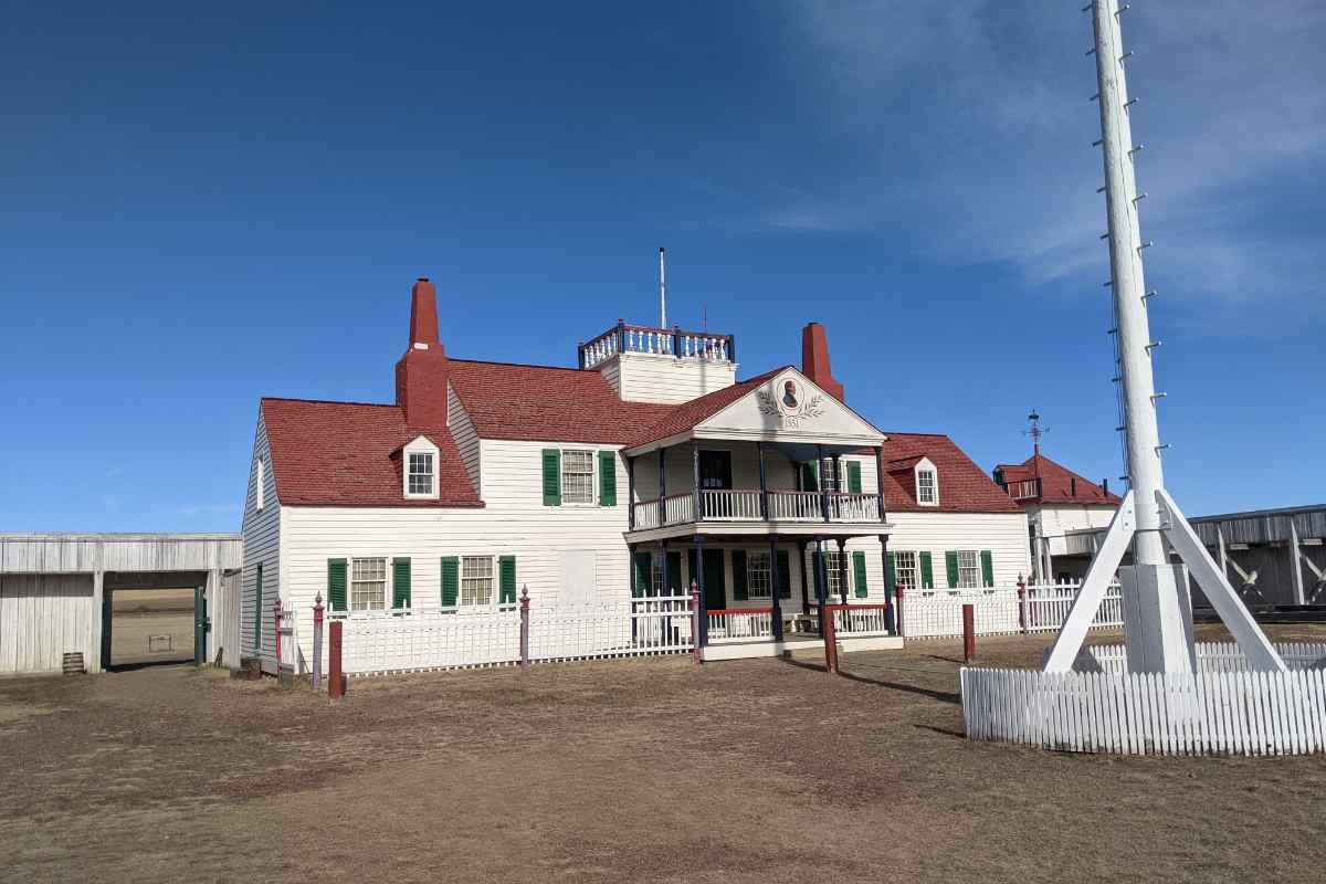
Finally reaching Fort Benton, Costanza connected with Missouri River Outfitters, who lined him up with a kayak rental and necessary gear. The Bureau of Land Management's guides from Fort Benton to Judith Landing and one from Judith Landing to James Kipp Landing helped tremendously to know where to camp and what features lay ahead.
"Fort Benton to James Kipp Landing was a pretty nice paddle. The White Cliffs area was spectacular. Established campsites are along the way and public land for camping adjacent to the river are available, as well," Costanza says. "[The BLM guide] shows you the campgrounds of Lewis and Clark."
During his time on the river, he avoided a few rattlesnakes before he disembarked at Kipp's Landing. "I wanted to test myself to see how the James Kipp to Fort Peck walk would be. I was a little nervous about it, but also very excited when I finished it—and pretty beat up."
TESTING HIS LEGS IN EASTERN MONTANA
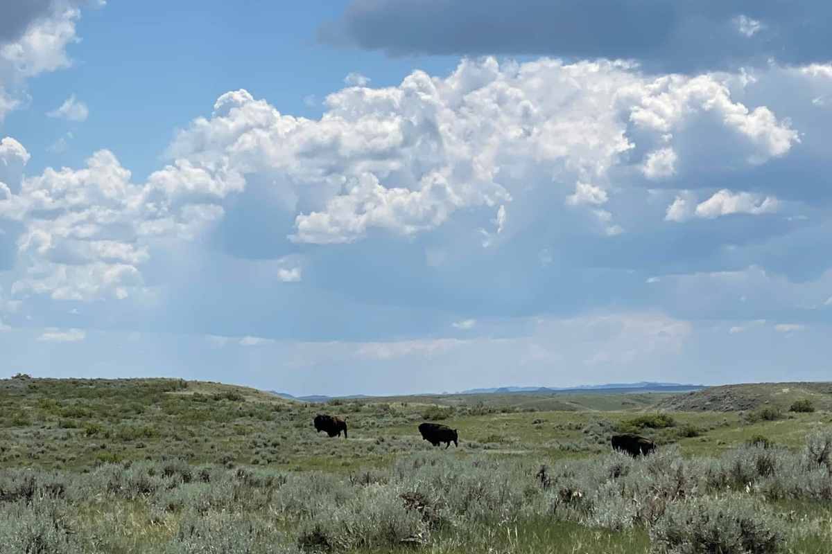
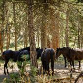
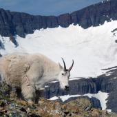
Costanza says while he saw a black bear and marmots in Glacier, along with elk, mountain goats, and moose farther south on the CDT, he was equally impressed with the birds, including the numerous eagles and osprey near Fort Benton. And by the time he walked past Slippery Ann Wildlife Viewing Area during the height of the elk rut, the bulls were bugling their warning to challengers as they kept their harem within sight.
Eastern Montana is notorious for its lack of water, especially during the latter part of the summer into the fall, and when you do find it, it's very alkaline. It's not out of the question to be happy to see a cow trough as a water source.
"Due to the time of year, I was pretty lucky to meet many hunters on this walk for at least the first half. I just kept asking anyone I came across for fresh water," he says, and nearly everyone was happy to oblige.
BACK ON THE WATER
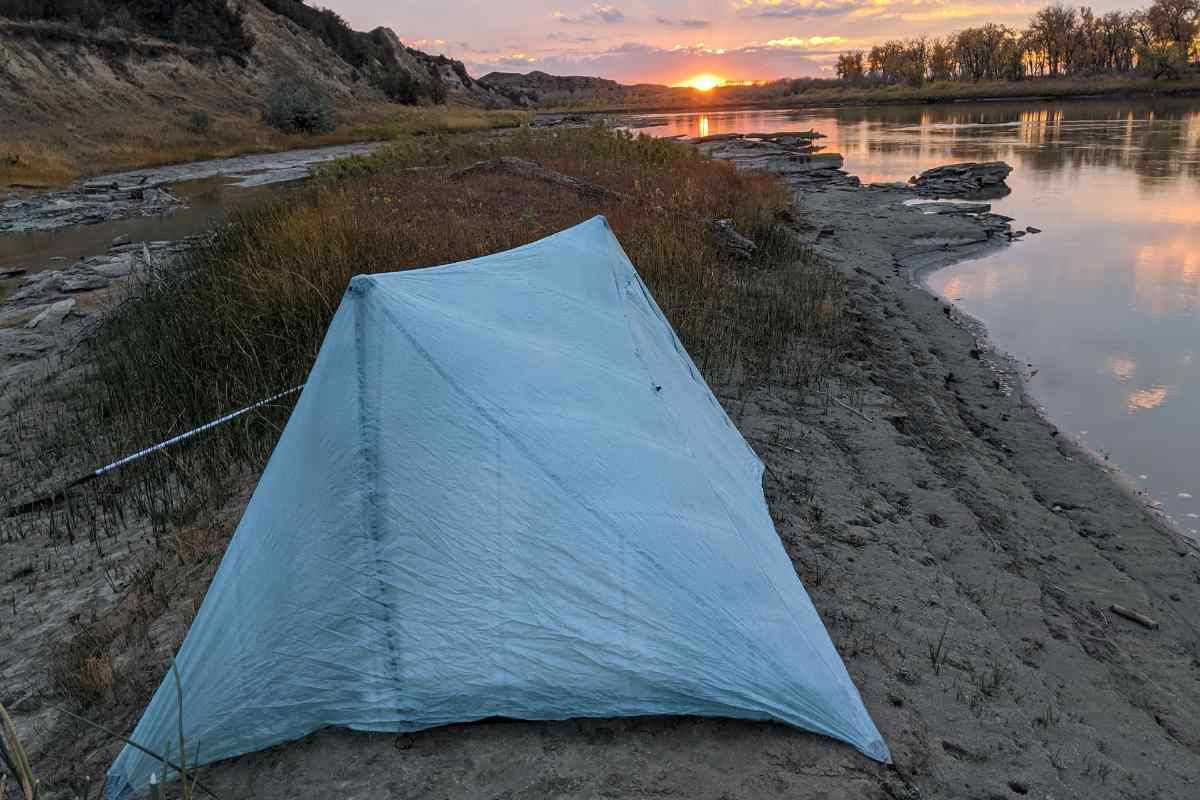
"For Fort Peck to Fort Union, the only option really is to paddle or ride that section on a bike. Otherwise, it would be around 200 miles walking on roads and highways. I chose to paddle because the logistics of paddling were easier for me," he says.
He shares that this final stretch was a little monotonous, partly due to the scenery so late in the season. At times, low water exposed sand bars and slowed the current to a crawl. Not surprisingly, wind was often bothersome.
"There are also no established campsites along the way, but that was really not a big issue," he says. "It was somewhat challenging to find a campsite that was not exposed to wind, though, but I got lucky a few nights with not much wind."
Once it was all said and done, Costanza says, "The trail length was perfect for me. I was surprised when I found out the trail is 1,700 miles, all in Montana. Fourteen hundred-plus miles walking, by my count, and the rest paddling or biking." He believes the trail requires thinking on your feet but is feasible for experienced long-distance hikers.
UNEXPECTED HOSPITALITY
With outstanding scenery and, truthfully, one of the nicest autumns most of us can remember, an unexpected highlight of the trip was the people. While walking into Geyser, a trucker from the nearby gravel pits stopped and asked if he was okay. "Soon after, two hunters stopped, and gave me water, muffins, and homemade elk jerky, which was delicious."
"All of those hunters and ranchers were so great," he says. "It was phenomenal." He shares experiences of one ranch owner driving out to meet him on the side-by-side to give him a huge bag of Cheetos and cold water, a welcome treat.
"I had those experiences the whole time," Costanza shares. "I can't thank the hunters, ranchers, and everyone else I met along the way enough for their kindness and help. I couldn't have done it without them."
CONTINUED PROGRESS
Costanza might have been the first to venture the entire length of the trail, but he won't be the last. His input from this experience is a valuable resource for Race and the board members of the Montana Trail Association, who strive to improve the route. In the meantime, Race and his crew continue to scout sections of the trail to discover features and descriptions that might be helpful for future travelers.
"Meeting great local residents across the state who are interested and engaged in helping make the Montana Trail a reality has clearly been the highlight," says Race. "The Montana Trail will only be as good as the support it has in the small communities across the state."
The Montana Trail is also not without obstacles beyond what Mother Nature can throw at it. Race explains, "The challenge of engaging the State of Montana to support the Montana Trail has been a process of meeting expectations and addressing misconceptions about what the Montana Trail is and isn't."
With more people seeking recreational opportunities on top of traditional hunting and fishing, the Montana Trail fills the niche for hikers, bikepackers, and horseback riders, all of whom cherish our public lands.
Most of all, Race is setting the stage for the Montana Trail to provide opportunities to future trail users. "I'm 70 and won't be the chief trail cheerleader forever," he says. "I want to ensure there is adequate infrastructure to support hikers and bikers in more remote sections of the trail, which requires continually working with small communities to address this."
One of the most recent developments is the bike route completion, spearheaded by Montana Trail member Graham Goff, which is available on the OnX Backcountry app. The Montana Trail also partnered with Highwood to earning a State TSP grant to help Highwood construct a hiker-biker campsite, including a Montana Trail bear-proof locker.
Costanza says, "[It's new,] so there are challenges, but it's exciting, as well, because the trail is only going to get better and better."
This sounds like a perfect reason to explore the mountains, float the Missouri River, and walk the expanses of eastern Montana in a way few others have by following the Montana Trail.


Leave a Comment Here