Montana Glaciers From Above!
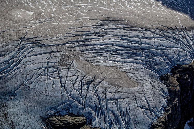
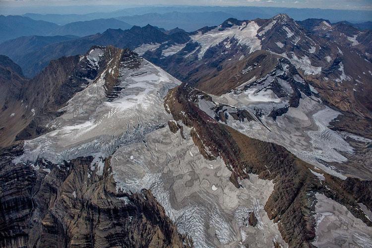
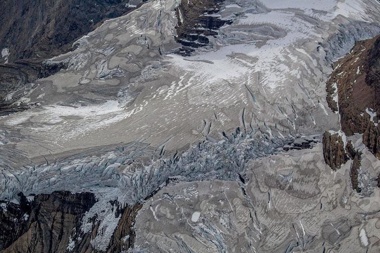
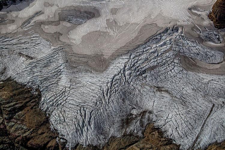
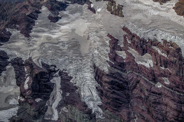
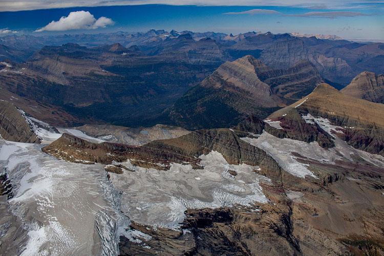
Aerial Photography of Glacier National Park
In the late 1990s, a studious and close friend of mine reported that a study of Glacier National Park estimated that the park would be devoid of glaciers by 2030. I knew essentially nothing about Montana but the first thought that came to mind was the immorality of the glaciers melting, and how I needed to see them before they disappeared. My imagined Montana included glaciers, and that’s how it needed to be.
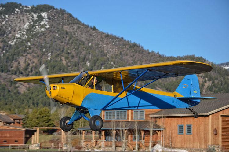
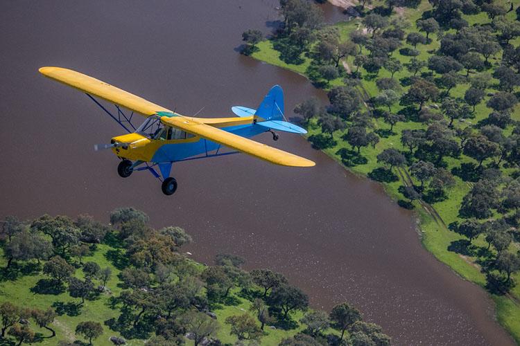
More than 15 years later, I found myself living in the Rockies of Colorado, having brought a 1949 antique airplane with me.
A product of three generations of family flying, it is a light aircraft weighing less than 800 pounds powered by an old 100-horsepower motor and devoid of all but the most basic of legally required instruments. I had no radio, heat, starter, or other onboard navigation, other than a compass and an iPad. It was with this aircraft that I taught myself how to fly around the highest peaks of the Colorado Rockies, stationing it at the highest airport in North America.
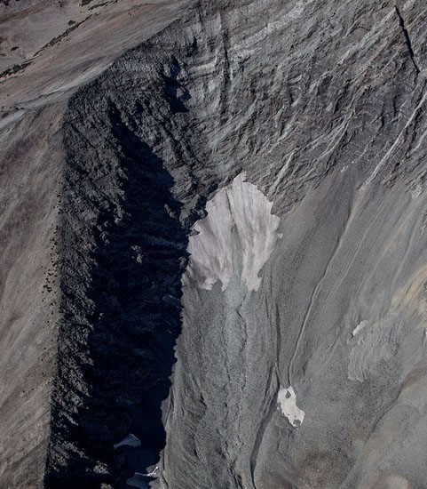
As life would have it, I moved south of Jackson Hole, Wyoming less than a year later, and now Montana was more accessible. At this point I decided I would at least fly to all of the glaciers of Wyoming. I then had the idea to hop over into Montana through West Yellowstone, dipping my toes in the land of great wilderness and intrigue. I still recall gazing northward further into Montana, thinking to myself how wonderful it would be to explore the place.
Glaciers add a nuance of complexity to mountain flying. As it is, mountain flying is complicated and can be dangerous due to wind, terrain, altitude, reduced aircraft performance, turbulence, and weather. I had mitigated these challenges pretty well so far, while savoring what I wanted while keeping an appropriate distance. The problem with glaciers is that they tend to hide below vertical peaks or glue themselves to the side of other equally foreboding terrain. It is pointless to view them from a distance, as they have much to offer getting close. That meant figuring out how to get an old and underpowered airplane close to mountain summits, often below them and in the lee side, things that increase danger.
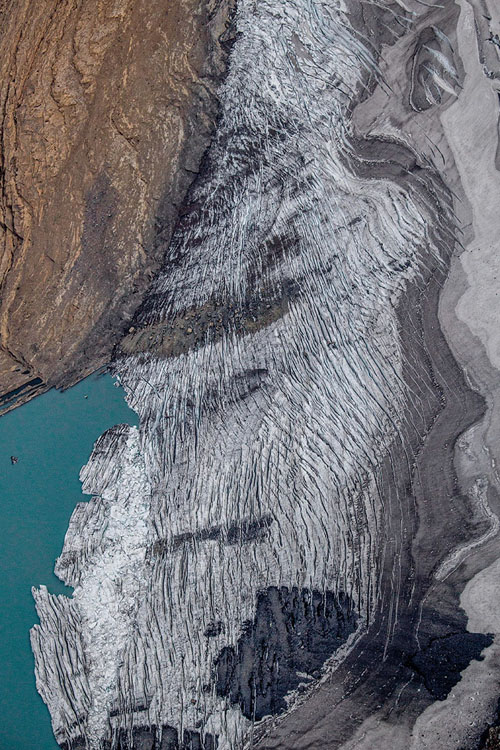
There is also the matter of when the glaciers are best viewed. With winter snows sitting on top of them, much of the detail is lost. The entire glacier can be obscured in a landscape filled with snow. I decided to reserve the complication of getting so close to mountain terrain to midsummer when snow would be melted.
But then the West started on fire, choking most of August in smoke. Anxious I wouldn’t get the project done, I made phone call to Livingston, MT airport to clear the matter up:
“Hello, I am calling to check if there is any smoke visible. I have a photography flight to take up that way.”
“Smoke? Ha! Its 5 to 6 miles visibility right now.”
“Uh, right. Well, your automated weather says 10 miles.”
“Well, I don’t know what to say, there’s smoke all over the place.”
“This is my first year here. Do you have any knowledge of how long the smoke normally sticks around for?”
“If there are fires in Montana, there is smoke.”
“Yeah, I know that. Any clue how long it usually lasts?”
“Until it rains or snows.”
And then it did snow in Montana, thankfully putting out the fires, though showing me that I had a short window to get the glaciers before they got covered in…too much snow.
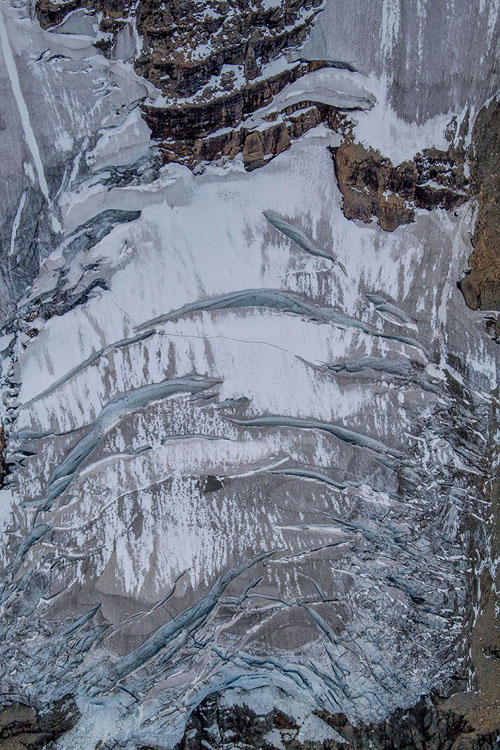
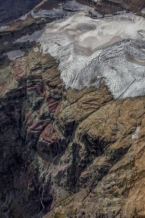
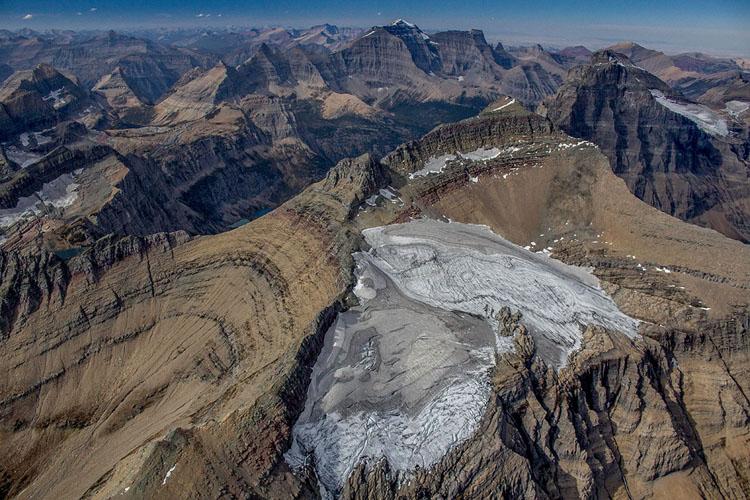
Four days later, I was outrunning incoming smoke from the south and a weather system coming in from Canada, flying around peaks and glaciers of Glacier National Park in dubious winds. I couldn’t help myself. If I didn’t get them while with the airplane, I certainly wasn’t going to get them after having shipped the aircraft to Europe. That, and like everyone else that has a vested interest in the existence of Montana’s glaciers, the clock was ticking. There was no choice but to get it done.
In the course of the project,
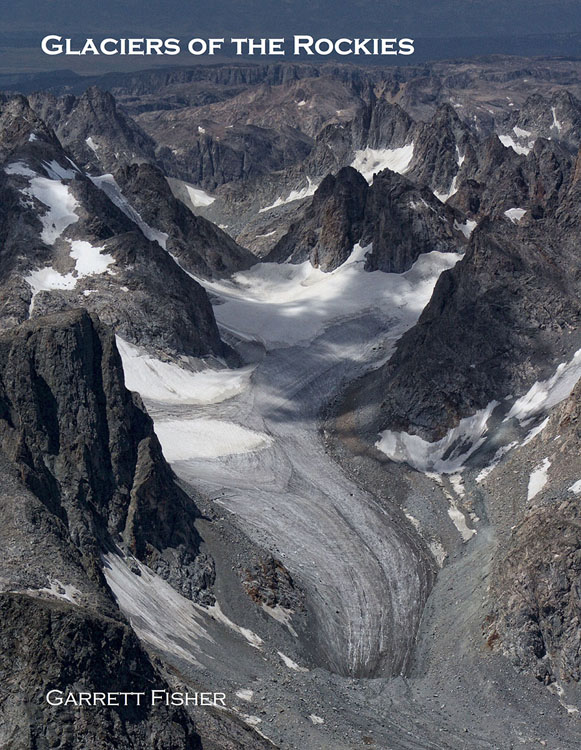
I covered more than Glacier National Park in Montana. Scouring maps and other sources to understand which named glaciers remained, the airplane flew to the Flathead Range, Swan Range, Mission Mountains, Crazy Mountains, and Absaroka Range, in search of whatever glaciers were still around, photographing along the way. It is my best effort to preserve them into posterity. And I can proudly state that I have seen parts of Montana in a way I never thought I would, and it was a treasure I won’t forget. Glaciers of the Rockies is available on Amazon.com for $25.


Leave a Comment Here