Montana in 30 Years: Snow
Interview with Jordy Hendrikx
Well let’s start with the obvious. Will Montana still see snow in 2044?
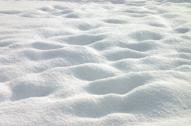
Certainly. While we cannot “predict” what will happen in the year 2044, we can provide some guidance on the likely changes as a result of climate change. Even under the most severe emissions scenario (and therefore warming trend), we will still see seasonal snow in Montana. The duration of snow cover at lower elevations will likely be more impacted than the snow at higher elevations. It is also important to note that Montana is a challenging place to understand the impacts of climate change. While we expect to see a warming around 1.5C by the 2040s (under a mid-range emissions scenario), the change in precipitation is a little more uncertain. The inter-model variability is greater than the mean of the anticipated change. However, if we do consider the mean-expected change in precipitation for the 2040s (under a mid-range emissions scenario) we see about a 20% increase in wintertime precipitation, which if cold enough would mean more snow. This increase in precipitation, combined with an increase in temperature, will likely mean a more modest reduction in snow.
A side note about emission scenarios is that we (i.e. all of us) can still have an influence on the trajectory that we follow. If we select a more energy-intensive future vs a less energy-intensive future, then we will see different emissions scenarios. Our choices can still make a difference.
Will there be greater seasonal variations in snowfall and snowpack? Qualitative? Quantitative?
The recent work on climate change does suggest that there will be an increase in extreme events, which when applied to a warming climate and the snowpack, will likely lead to more variability. The general trend will be a decreased snowpack, but even given this trend, we expect to see relatively good years (with well timed, large snow events), and relatively bad years, with low snowpacks. We would expect to see higher elevations to see the least change and lower elevations to see the most change. There is also a slight indication that there will be slightly more wintertime precipitation in the northwestern parts of Montana, than the east.
How will Montana recreational opportunities be affected, such as skiing, snowshoeing, snowmobiling?
We will likely see a reduction in the duration of snow at a given elevation. Exactly how much is unclear, and will depend on precise location, and emissions scenario. The ski industry is well placed to adapt to these changes in most cases, through snowmaking. At most ski areas, we would likely see sufficiently cold conditions to allow snowmaking to make up the losses in natural snow. However, in other areas, this may not be possible, and in particularly warm years the “windows” of snow making will get smaller and smaller. Fortunately for Montana, the winters are likely to be sufficiently cold for snowmaking, even in the 2040s. Other winter recreation opportunities may have less opportunity for adaptation and will need to respond by moving to other locations, and or, higher elevations.
You study snow as both a “resource” and a “hazard.” Could you tell us how those two aspects of “snow” will look in 30 years?
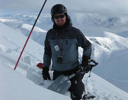
Resource: We consider snow as a resource, both when it is as snow, and when melted as water. When we have less snow and more rain, we will see a reduction in the seasonal storage. This storage, currently provides water in the dry/summer season; however, and with more rain, more water is able to run out via the rivers during the winter (when it is not needed as much) and leave less for the summer. This will result in an increased probability of drought conditions. The exact change will depend on the area/river basin.
Hazard: We consider snow as a hazard for both avalanches and extreme snow storms. Work to date (from other parts of the world) has not shown any strong trend in likely avalanche conditions under a future climate. However, based on processes, there does seem to be an indication that we might see less activity in general and more wet snow avalanches. This is based on a small number of studies, and none of them are specific to Montana. We hope to explore this issue further within the next few years. With respect to extreme snow storms, we might see these less often, but they may be more severe when they do occur. Again, this is based on a small number of studies (none of them are specific to Montana), but is grounded in sound scientific theory around the holding capacity of warmer air.
Anything else you would like to add about snow and snow science?
We need to do more work at the scales of interest — i.e. at the point/ basin scale — and more work here in Montana. But it all requires funding. We also need to better understand how extremes will change. We know the general trends, but the site-specific details need more work. Scale again is a difficult issue.
~


Leave a Comment Here