Driving in the Steps of the Corps of Discovery
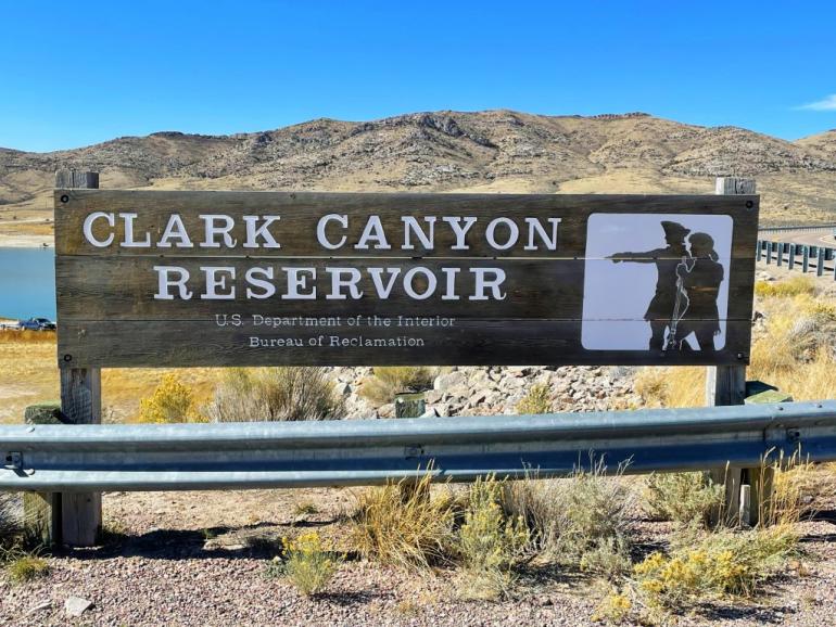
Photo by Holly Matkin
When President Thomas Jefferson sent Captain Meriwether Lewis and Captain William Clark out to explore the nation’s newly-purchased Louisiana Territory and the seemingly infinite wilderness stretching to the Pacific Ocean, he partially did so in an effort to realize his dream of linking the east to the west through the discovery of a mythical waterway route known as the Northwest Passage. If such a passage existed, it would be key to westward expansion and unification of the eastern United States and the “Oregon Country” territory.
Twenty-nine-year-old Lewis and 33-year-old Clark hedged their bets on the Missouri River.
Although the highly-sought-after singular waterway linking the plains to the Pacific coast didn’t exist, the Corps of Discovery did successfully reach their destination and checked off a slew of other tasks on Jefferson’s to-do list during their 8,000-mile, two-and-a-half-year expedition. As instructed, they established trade with Native Americans, analyzed flora and fauna never before seen by European Americans, mapped expansive territories, and kept detailed journals of their observations and day-to-day events.
The expedition also delivered a message from Jefferson to everyone they met: The land contained in the Louisiana Purchase had become the property of the United States.
In addition to Lewis and Clark, the Corps of Discovery consisted of 29 men, a Newfoundland named Seaman, and Sacagawea, a Lemhi Shoshone woman who had been kidnapped by the Hidatsa tribe at the age of 12 and later sold to French-Canadian trader Toussaint Charbonneau. Charbonneau ultimately claimed her as his wife.
Sacagawea was approximately 17 years old when she gave birth to her son, Jean Baptiste Charbonneau, at Fort Mandan in present-day North Dakota. Less than two months later, on April 7, 1805, she strapped her baby boy to her back and set off up the Missouri River as the only female member of the Corps of Discovery.
The expedition covered more miles within the present-day boundaries of Montana than they did in any other state along their epic journey. Though the inevitable westward expansion that soon followed Lewis and Clark’s explorative trek altered much of the land forever, many aspects remain nearly untouched.
We invite you to hop in your car to set off on a trip back in time, crossing paths with the Corps of Discovery’s route through central and southwest Montana as you embark on an expedition of your own.
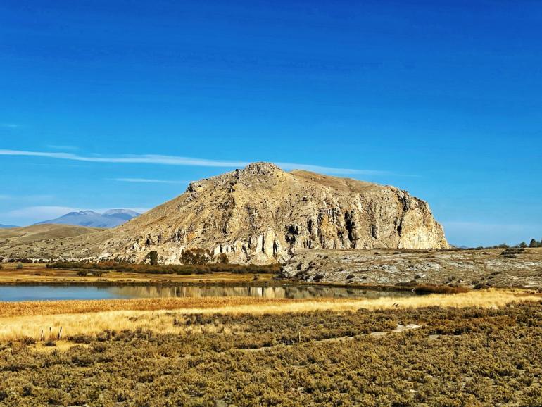
Photo by Holly Matkin
Bridging Then and Now
This 712-mile driving loop takes just under 13 hours to complete without breaks, but the 17 stops we’ve compiled for your adventure are the true destinations of the journey.
We started out in Missoula, but you can jump on board at any access point along the way. Keep in mind that the Corps of Discovery traveled through Big Sky Country twice during their adventure—first heading westbound, then returning eastbound—and split into different exploratory teams at times, so the stops along the route are not always chronological.
Buckle up and enjoy the open road!
Lewis and Clark Pass
The tiny mountain town of Lincoln lies just over an hour outside of Missoula via Interstate 90 eastbound and MT-200, with plenty of fishing access points on the Blackfoot River along the way. Turn north onto Alice Creek Road approximately 9 miles east of Lincoln and continue 11 miles until you reach the Alice Creek Trailhead.
This moderately challenging, 3.4-mile out-and-back hike leads to the 6,400-foot rise of Lewis and Clark Pass and offers spectacular views of the dense alpine forest and sparkling rivers in the valley below. Sharp peaks stab skyward in the distance.
It was in this very spot that Lewis and his party crossed the Continental Divide while on their way back from the Pacific coast on July 7, 1806. Square Butte—a flat-topped, prominent laccolith—can still be seen jutting out of the plains to the north from this vantage point. The butte confirmed the expedition was still on course and was likely a welcome sight for Lewis.
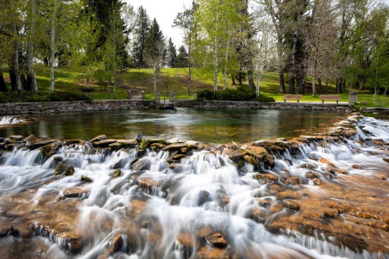
Photo provided by Giant Springs State Park
Great Falls of the Missouri and Giant Springs
MT-200 east travels up and over Rogers Pass before abruptly dropping down into the vast, rolling plains during the 90-minute drive to the bustling city of Great Falls.
The falls were a key signpost for the expedition during their westbound journey thanks to the Hidatsa tribe, who assured them they would know they were on the correct route once they located the thunderous cascades.
As affirming as finding the falls must have been, it also confirmed the expedition’s long-standing fears about the back-breaking, 20-mile portage they would need to undertake in order to circumvent the deadly waters.
The effort took a month.
Only one of the series of five waterfalls they encountered can still be seen today. The remaining four have been swallowed up by multiple dams.
Swing by the Lewis and Clark Interpretive Center at 4201 Giant Springs Road in Great Falls to view outstanding displays showing just how daunting the challenge truly was.
View the last remaining waterfall—Crooked Falls—from an overlook at Giant Spring State Park near the interpretive center.
The park is also home to Giant Springs, a bubbling freshwater spring that produces more than 156 million gallons of water per day and is among the largest in the country. Lewis made note of the spring in his journals in 1805.
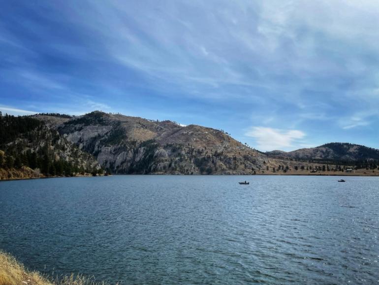
Photo by Holly Matkin.
Tower Rock State Park and Gates of the Mountains
The next leg of the trip veers south on Interstate 15 toward the capital city of Helena, passing by Tower Rock State Park near Cascade. Not only did this commanding, 400-foot igneous rock formation serve as a landmark for the Corps of Discovery, it was also a guiding light for Native tribes, traders, and fur trappers. Visitors can access the park via Old US Highway 91 approximately 8 miles south of Cascade.
The interstate winds along the route of the Missouri through Wolf Creek Canyon, then begins a gradual ascent toward the 28,465-acre Gates of the Mountains Wilderness Area. Take Exit 209 to reach Upper Holter Lake, where boat tours take visitors down the Missouri through a spectacular gorge. True to their name, the towering, 1,200-foot-high cliffs seem to open up at the last moment, granting travelers passage through the walls of rock.
Lewis named the landmark when the expedition traveled through the passage on July 19, 1805.
Today, the Gates of the Mountains Wilderness Area boasts more than 53 miles of hiking trails and ample opportunities for camping, fishing, and watersports.
Crimson Bluffs and Missouri Headwaters State Park
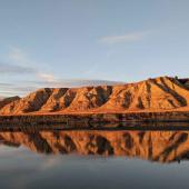
The Corps of Discovery continued rowing against the Missouri’s current as they traveled south from the Gates of the Mountains, passing through the Canyon Ferry area toward present-day Three Forks.
Along the way, in the daybreak hours of July 24, 1805, they came upon “a remarkable bluff of a crimson coloured earth…intermixed with stratas of black and brick red slate,” Lewis wrote in his journal. This area, now known as the Crimson Bluffs, remains nearly identical to the display the expedition witnessed that morning.
The 43-mile self-guided auto tour of the Crimson Bluffs area is accessible by heading east out of Helena on US-12 east/US-287 south. Turn west onto River Road just north of Townsend and follow the route along the river. Much of this portion of the road is unpaved.
Head east at the junction of River Road and MT-285 to return to US-287 southbound.
The Missouri Headwaters State Park lies approximately 30 miles beyond via a quick transition onto Interstate 90 east.
The expedition reached this point in late July, 1805. Upon their arrival, they realized they had located the birthplace of the Missouri River, which is formed by the convergence of three other grand rivers. They named one in honor of Jefferson, one for the Secretary of State James Madison, and the third after Secretary of the Treasury Albert Gallatin.
It was also in this same area that Sacagawea was kidnapped by the Hidatsa tribe just a few short years before the expedition’s arrival.
Today, this 532-acre park provides visitors with stellar opportunities for hiking, bicycling, picnicking and camping.
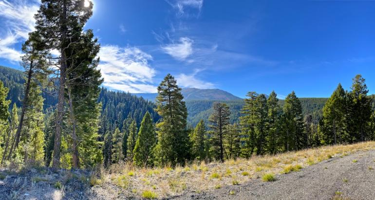
Photo by Holly Matkin
Beaverhead Rock, Clark’s Lookout, and Camp Fortunate
After a brief backtrack on I-90, turn south at Whitehall onto MT-55/MT-41.
This route loosely parallels a section of the Jefferson River before passing by Beaverhead Rock State Park—a commanding rock formation that Sacagawea quickly recognized as being near her Shoshone family’s summertime camp. The expedition was desperately trying to locate the Shoshone to secure horses from them in order to continue their journey over the mountains.
“This hill she says her nation calls the beaver’s head from a conceived resemblance of its figure to the head of that animal,” Lewis wrote on Aug. 8, 1805. “She assures us that we shall either find her people on this river or on the river immediately west of its source…”
After arriving in the town of Dillon approximately 15 minutes later, head north on MT-91 for one mile to Clark’s Outlook State Park.
Clark climbed this hill to get his bearings on Aug. 13, 1805, and recorded three compass readings as he looked out over the Beaverhead Valley. Today, a monument showcasing those same compass readings can be found at the lookout point Clark used. It is accessible via a short walk.
Return to Dillon to merge onto Interstate-15 southbound. Camp Fortunate, the location where the expedition met up with Sacagawea’s family on Aug. 17, 1805, lies just 20 miles away.
Subsequent to her kidnapping years before, Sacagawea’s brother, Cameahwait, became chief of the Shoshone tribe. One can only imagine the outpouring of emotion that took place at Camp Fortunate when the siblings’ paths crossed that day. Their reunion must have been magnificent.
Today, Camp Fortunate sits beneath the waters of the Clark Canyon Reservoir.
Lost Trail Pass and the Bitterroot Valley
Return to Interstate 15 and head north. The exit for MT-278 toward Jackson and Wisdom will pop up about 15 miles later. Continue on to Wisdom, then turn west onto MT-43 to reach the 7,014-foot Lost Trail Pass.
This pass sits on the border of Montana and Idaho and is currently home to the Lost Trail Powder Mountain Ski Area. When the expedition reached this location on Sept. 3, 1805, they discovered they were not on the exact route they had intended. Fortunately, they were able to rechart their course and made it over the ridge before winter—and the 15 feet of snow typically seen in this area—closed in on them.
The pass marks the south end of the scenic Bitterroot Valley, which is home to several important camps and junctions for the Corps of Discovery. Visitors traveling along US-93 north will parallel much of the expedition’s route through the lush valley.
Notable stops along this stretch include Ross’s Hole near Sula, where the expedition spent two days camping with a large group of generous Salish peoples before crossing the treacherous Bitterroot Mountain Range.
Traveler’s Rest State Park near the junction of US-93 and US-12 outside of Lolo has been hailed as the only one of the expedition’s campsites to be archeologically verified. Researchers discovered fire hearths, lead used to manufacture and repair firearms, and a trench latrine with traces of mercury when they excavated the site in 2002.
The Lolo hot springs area, where the expedition camped and bathed during the summer of 1806, lies approximately 30 miles further west on US-12 west, followed by Lolo Pass.
Travelers wishing to return to Missoula can then backtrack on US-12 to US-93 and head north.
We close the book on this epic driving loop with a spirit of thankfulness, not only for the honor of being able to cross paths with the Corps of Discovery, but also for the privilege of being able to explore a section of the world where a union between past and present still exists.
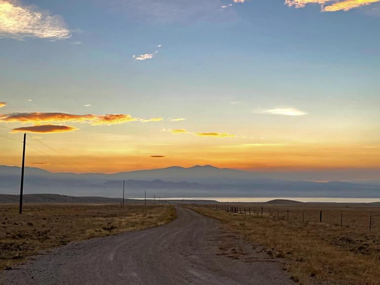
Photo by Holly Matkin





- Reply
Permalink